
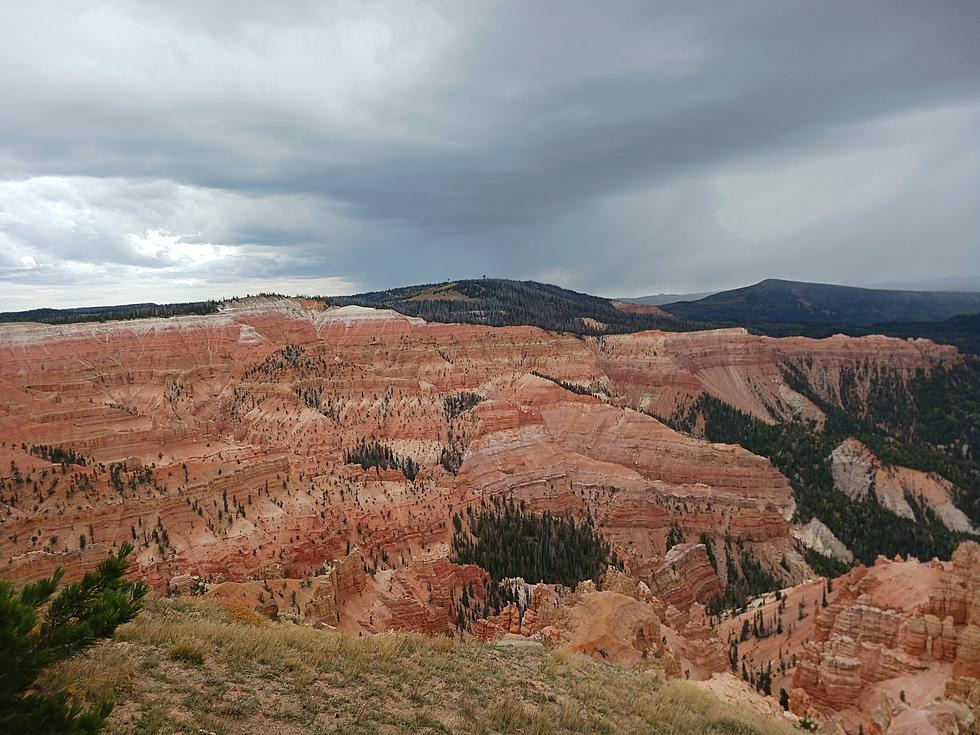
A Kaleidescope of Color at Cedar Breaks
Fall and Spring are my favorite times of the year. It’s hoodie weather and not so hot that I can be outside and not be covered in a permanent layer of sweat.

This turned out to be the best time to visit Cedar Breaks since it wasn’t very busy even though there was a lot of traffic in Cedar Canyon.

The Fall colors on the way to Cedar Breaks became more vivid the higher in elevation I climbed.

While at Cedar Breaks the wind was chilly and it even started to snow a little bit.

The information for the following bit of this piece comes from the Cedar Breaks pamphlet I picked up at the Cedar Breaks visitor’s center.

The 6,155 acres that makeup Cedar Breaks was designated a national monument in 1933 by President Franklin D. Roosevelt. However, the creation of Cedar Breaks has been millions of years in the making.

90 million years ago Cedar Breaks was bordered to the east by an ancient sea. As the mountains of what would become Cedar Breaks aged, they shed sediments carried to the ancient sea by rivers and streams. As the sea drained, it exposed rock formations created by compressed layers of sediments.

Moving ahead 60 million years, Lake Claron was created after the sea retreated east and a low-lying area filled with fresh water. The sediments that drained from the new mountains to the west went to the bottom of Lake Claron along with organic matter that helped create the brilliant kaleidoscope of colors that can be seen in the canyons of Cedar Breaks.

Moving forward again, this time 20 million years ago, volcanic ash, molten rock, and earthquakes created the Brian Head Formation. For about the last 10 million years, earthquakes continuously lowered the landscape to the west, leaving Cedar Breaks at the highest elevation point of the Grand Staircase.

Now, Cedar Breaks lies at the western edge of the Colorado Plateau’s Grand Staircase, which is higher, cooler, and wetter than the points to the east. Because of its location, Cedar Breaks supports species that thrive in high-elevation conditions including coyote mint, deer, elk, and pika.


Speaking of pika, I became a pika parent after leaving the visitor’s center and adopting a pika I’ve named Perry.

Get more information on Cedar Breaks National Monument at the link here.